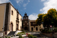
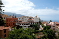
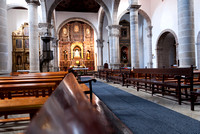
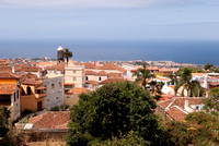
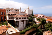
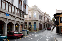
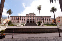
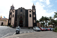
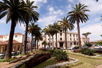
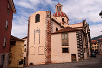
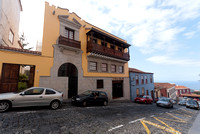
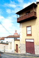
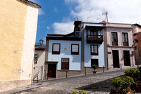
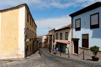
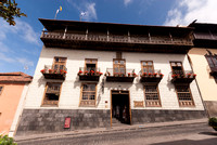
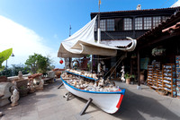
La Orotava is a municipality of Spain, located on the north coast of Tenerife, within the Orotava Valley. It is located 5 km E of Puerto de la Cruz, about 33 km SSW of the island's capital, Santa Cruz de Tenerife, west of the Tenerife North Airport. The population is 39,909 (ISTAC, 2003), its density is 192.50/km² and the area is 207.31 km². The municipality's area is the largest in the entire island of Tenerife. The altitude of the main population centre is 390 m, but the one of the municipality area goes from the sea level of the Atlantic to the 3,718 m of the summit of Teide volcano (Canary Islands' and Spain's highest point), inside the area of the municipality, making La Orotava the highest municipality of Spain (though the highest center of population is Valdelinares, in the province of Teruel). La Orotava is linked with the TF5 Motorway and the old highway linking Icod de los Vinos and the capital. Farmlands are in the valley areas and within the Atlantic, urban areas covers much of the area and the mountain and the hills are to the south. Its climate is vegetation. The coat of arms or La Orotava was adopted by Alfonso XIII in 1906. In gastronomy, La Orotava was honored for the Denominación de Origen Valle de La Orotava or the Denomination of the Origin of the Orotava Valley (Valle de La Orotava) in wines. (from Wikipedia, the free Enxyclopedia)
Categories & Keywords
Category:Travel and Places
Subcategory:Europe
Subcategory Detail:Spain
Keywords:Canary, La, Orotava, Spain, Tenerife, island